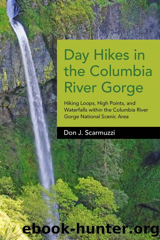
Day Hikes in the Columbia River Gorge by Don J. Scarmuzzi
Author:Don J. Scarmuzzi
Language: eng
Format: epub
Publisher: West Margin Press
Published: 2015-01-15T00:00:00+00:00
Down toward Mount Adams on the trail from Indian Mountain.
TRAILHEAD: Wahtum Lake. See hike 26 for directions to the principal TH. For the shortest route, continue left onto the dirt road (FR-660) from Wahtum Lake TH for 2 mi SW easily, and stay right of any forks to the end of the drivable road at the gate just past old Indian Springs Campground.
ROUTE: For the shortest walk, jump on PCT 2000 from the abandoned Indian Springs camping area and TH or amble up the road, which quickly meets the PCT heading W ¼ mi easily up to the next junction and sign in the clearing. Leave the PCT for the open ridge hike left (S) on Indian Mountain Trail 416 about a mile to the summit as you pass giant cairns, radio towers (regrettably), wildflowers, and an appealing panorama of a few of Washingtonâs big Cascade Volcanoes, the Gorge, and all the local mountains. It is hard to capture the 360-degree living postcard with a camera, but this high ridge holds a uniquely fascinating perspective encapsulating the Pacific Northwest. The wide path climbs more steeply back into the trees to an old lookout tower foundation within the rock pile on top, with somewhat limited but decent views.
From the main TH at Wahtum Lake Campground, take Wahtum Express Trail 406J (a sign incorrectly calls it Trail 406M) to the left as you begin down to the lake. Walk almost ¼ mi steeply N down several hundred railroad ties made into steps to the PCT, and turn left ¼ mi around the S side of the decent-sized lake with Chinidere Mountain across it to the NW. Turn left (W, then S) away from Wahtum Lake to stay on the PCT with a steady grade through the trees 1½ mi. Then parallel FR-660 for another mile on its right side SW to Indian Springs Campground as you get an eyeshot of Indian Mountain along the way. Remain on the PCT ¼ mi more W to the summit trail on the left (S) and follow Trail 416 up the ridge as described above.
Download
This site does not store any files on its server. We only index and link to content provided by other sites. Please contact the content providers to delete copyright contents if any and email us, we'll remove relevant links or contents immediately.
Shoe Dog by Phil Knight(5274)
The Rules Do Not Apply by Ariel Levy(4975)
Walking by Henry David Thoreau(3969)
How to Read Water: Clues and Patterns from Puddles to the Sea (Natural Navigation) by Tristan Gooley(3476)
Running Barefoot by Amy Harmon(3454)
I'll Give You the Sun by Jandy Nelson(3451)
Crazy Is My Superpower by A.J. Mendez Brooks(3415)
How to Read Nature by Tristan Gooley(3348)
How Music Works by David Byrne(3273)
The Boy, the Mole, the Fox and the Horse by Charlie Mackesy(3138)
The Fight by Norman Mailer(2948)
Seducing Cinderella by Gina L. Maxwell(2647)
Cuba by Lonely Planet(2640)
Accepted by Pat Patterson(2375)
Going Long by Editors of Runner's World(2365)
The Unfettered Mind: Writings from a Zen Master to a Master Swordsman by Takuan Soho(2317)
Backpacker the Complete Guide to Backpacking by Backpacker Magazine(2250)
The Happy Runner by David Roche(2240)
Trail Magic by Trevelyan Quest Edwards & Hazel Edwards(2187)
